
San Jose Neighbor Block Records
A block lookup works when each source answers one question. The county GIS viewer shows parcel shape, touching polygons, jurisdiction, and layers. The Assessor returns facts from a situs or APN but suppresses assessee names online. Permits show project history, and the association map supplies civic contacts. None is a complete occupant list.
| Source | What It Shows About a Block | Access |
|---|---|---|
| Santa Clara County GIS | Subject parcel, touching parcels, APNs, jurisdiction, and selectable map layers | Free interactive viewer |
| Santa Clara County Assessor | Situs, parcel facts, values, and lawful offline owner or mailing trail | Free web facts; public terminal or request for restricted fields |
| Clerk-Recorder | Recorded parties, transfer dates, legal descriptions, and deed chain | Public workstations, index, and copy request |
| SJPermits | Address or APN permits, inspections, plans, maps, and project participants | Free public search |
| Voter records | Self status or an approved geographic file under statutory use rules | Self-authentication or qualifying request |
| Neighborhood association map | Association boundaries, contacts, and overlapping civic groups | Free address search and CSV export |
Owner and occupant are different. A deed identifies transfer parties, while a mailing address can differ from the situs. A permit applicant or contractor has a project role, not a proven home address. For San Jose neighbors, that distinction keeps a parcel map from becoming a claim about a household. The block record tells neighbors which custodian to use, not whom to approach. Household and utility details are outside this workflow.
San Jose Neighbor Parcel Records
The adjacent-parcel method starts with one address and defines nearby. Open the Santa Clara County Interactive Map Viewer, search, and zoom until boundaries are visible. Map extent is enough for an immediate block; record the date, APN, jurisdiction, and active layers.
- Locate the subject address and click its polygon; save the APN and situs shown in the popup.
- Keep the popup or map position, then click every polygon that touches the subject boundary, including rear parcels and flag lots.
- Record each neighboring APN, jurisdiction, and parcel relationship before moving to another source.
- Turn on one layer at a time, such as parcels, aerials, districts, zoning, or jurisdiction, so the map does not blur the result.
- Use the assessor for parcel facts and the recorder for the ownership document; use the full street workflow only when the question expands.
Consecutive numbers are not a safe substitute for polygons. Subdivisions, rear parcels, condominiums, and county islands can break a number-by-number sweep. This map step identifies nearby land units, not the private lives of San Jose neighbors. For a full named-street chain, use the San Jose street directory after the block lookup.
San Jose Neighbor Assessor Records
The APN bridges a map, address, and deed. Enter it in the Santa Clara County Real Property Search to confirm situs, values, tax-rate area, characteristics, and parcel links. The search accepts eight digits or the displayed hyphen form, not an owner name or ZIP-wide request.
Online assessee names are suppressed. For a lawful ownership question, use the Assessor terminal or microfiche, then the Clerk-Recorder workstation. A deed's grantor and grantee transfer an interest; its legal description tests whether a similar name belongs to the parcel.
- APN
- Assessor's Parcel Number, the identifying number assigned to a taxable parcel.
- Situs
- The physical location of the parcel, distinct from a mailing destination.
- Legal description
- The recorded land description used to verify the parcel beyond a street label.
- Occupant
- A person present at or using a place, a fact that an ownership record alone does not establish.
San Jose Permit Records for Neighbors
SJPermits searches by map, address, APN, permit number, project reference, or tract. Results may show project number, type, description, status, dates, applicant or contractor references, inspections, and images.
Imaged inspections, tract maps, plans, and certificates of occupancy can date block change, but they do not identify every household. A contractor proves project involvement only. Code Enforcement covers active and closed cases from the past two years, and complaint text is an allegation.
Use the GIS address or APN, save the permit number, and compare it with the parcel record. Keep both APNs when a project crosses parcels.
San Jose Neighbor Association Map
The City's Neighborhood and Business Associations Map is a civic layer, not a membership file. Enter a property, click the popup, and use the arrow for overlapping groups. The Select tool draws a polygon; double-click ends it, Shift adds areas, and the Select-menu ellipsis exports association names and contacts to CSV.
It includes neighborhood and business associations, HOAs, youth and senior councils, and other groups. Named examples include Alviso, Berryessa, Buena Vista, Burbank, College Park, Delmas Park, Five Wounds/Brookwood Terrace, Gardner, Historic Hensley Park, Japantown, Naglee Park/Campus, North Willow Glen, Roosevelt Park, Shasta/Hanchett Park, Willow Glen, and Winchester. Use live popups for current boundaries.
| Organization | Published contact | What it identifies |
|---|---|---|
| Buena Vista Neighborhood Association | BVNASJWebsite@gmail.com | Organization contact, not member households |
| Delmas Park | info@delmaspark.com | Civic group contact for the mapped area |
| North Willow Glen NA | board@nwgna.org | Association board contact |
| Shasta-Hanchett Park | info@shpna.org | Neighborhood organization contact |
| Willow Glen NA | membership.wgna@gmail.com | Association membership contact, not a public resident roll |
These contacts can help neighbors with a civic question or local history lead, but they do not authorize a private roster request. A San Jose neighbors lookup should stop at a mapped civic contact when the public record stops. Boundaries are approximate.
San Jose Voter Privacy for Neighbors
California My Voter Status is a private self-lookup for name, birth date, and identity match. It returns that voter's registration and election information, not a public block directory. Elections Code section 2194 limits registration-file access to qualifying election, scholarly, journalistic, political, or governmental uses.
Approved fields can include address, precinct, district, party, status, registration date, and participation history. Excluded fields include ID numbers, last four Social Security digits, signatures, confidential voters, and preregistration records. Participation shows an election date and method, never ballot choice. An eligible recipient still cannot enumerate a block for an unrelated purpose.
A self-lookup result can help a person correct their own status. It cannot confirm that an adjacent parcel is occupied by a named voter or that every household member appears at an address. The same rule protects San Jose neighbors from being turned into a block list.
San Jose County-Island Records
Postal labels and city lines can part ways around San Jose. The research notes unincorporated county islands and enclaves, and the ZIP layer shows intersections with 95002, 95008, 95013, 95032, 95037, and 95192. A nearby polygon can therefore fall under a different municipal office, permit system, or community boundary even when the mailing city looks the same.
Check the GIS jurisdiction field before using a city record route. For a parcel question, retain the APN and situs. For a permit, select the city or county custodian that actually holds the record. For an association, use the live popup rather than assuming that a ZIP or neighborhood name defines membership. The same discipline keeps a San Jose neighbor lookup from crossing an invisible administrative line.
San Jose Neighbor Privacy and DROP
California privacy rights mainly govern data held by covered businesses, not every public record. The Attorney General's CCPA and CPRA explanation describes rights to know, delete, correct, and opt out of sale or sharing. Those rights do not erase deeds, court files, or retained government records.
California's DROP system gives consumers a centralized deletion route for registered data brokers. February 18, 2026 guidance says one request can reach more than 500 brokers. A requester confirms California residence, creates an encrypted profile, selects identifiers, and submits it. Brokers began processing requests August 1, 2026. Manual correction remains useful for noncovered businesses.
The California Attorney General privacy page is the source for the consumer-rights image below. It describes business-data rights, not a way to remove a lawful county parcel record.
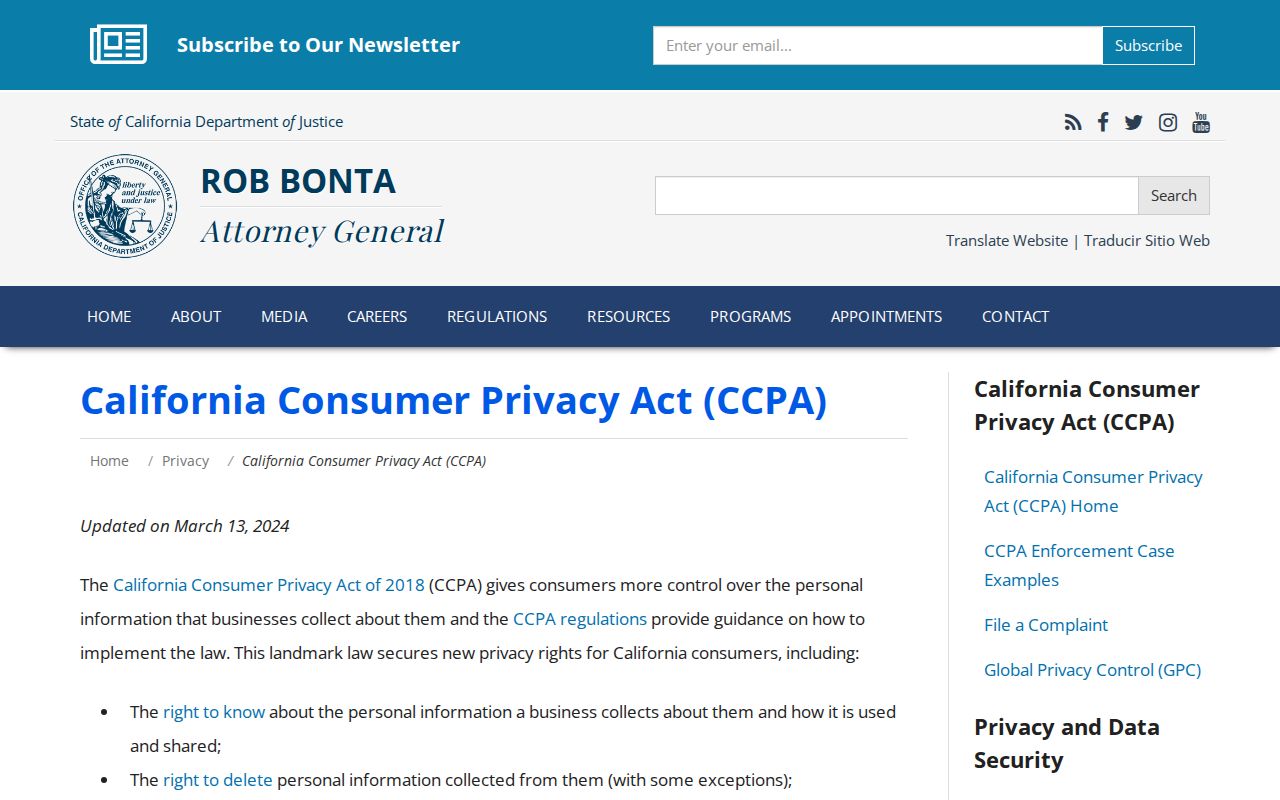
Privacy requests can reduce commercial copies of an address, while the public-record custodian may still retain the original record under its own law and retention duties.
San Jose Neighbor Data Deletion
The California DROP launch guidance explains why a centralized request can matter when the same address has been copied across many covered data brokers. It does not make a private household roster public, and it does not turn a public parcel record into business data that can be erased on demand. Use the official profile and request controls, give only necessary verification, save confirmation, and recheck later.
The official California DROP portal is the source for the consumer deletion route shown below. Use its live instructions for eligibility, identifiers, and verification rather than relying on a copied form.
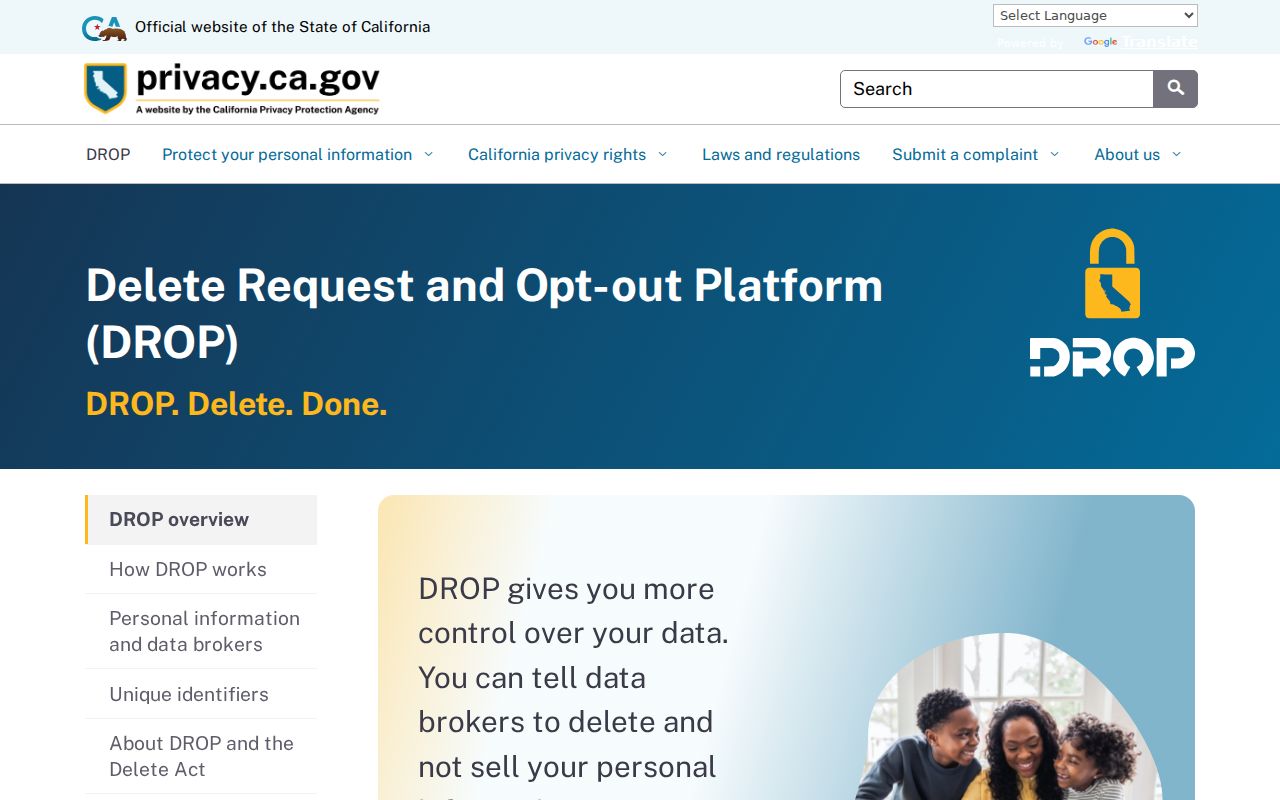
The portal is intended for a person's own covered-data request and does not create a directory of adjacent households.
The Attorney General's DROP launch guidance is linked before the image. The timing and broker count are tied to the captured 2026 guidance, so a later request should use the live instructions rather than a copied summary.
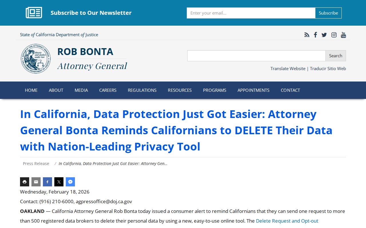
DROP is a privacy tool for covered commercial data, not a block-enumeration tool. It belongs at the end of a lawful neighbor lookup when a person is managing copies of their own information.
San Jose Neighbor Tools Compared
A comparison helps set the stopping point. Official records are closer to the original event or custodian, but they are split across parcel, deed, permit, voter, court, and civic systems. Commercial neighbor tools may combine sources for convenience, but their matches can be stale, incomplete, or merged across similar names. Neither category changes the lawful-use limits on location information.
| Source type | Strength | Weakness | Best use |
|---|---|---|---|
| Official GIS and parcel roll | Current geometry, APN, situs, and jurisdiction | Online owner name suppression; not an occupant list | Define the immediate block |
| Recorder and permit records | Document numbers, legal parties, dates, project history | Different access routes and role limits | Verify a parcel event or change |
| Community association map | Local civic contacts and approximate boundaries | Not a member or household roster | Reach a group about a neighborhood matter |
| Commercial neighbor tools | One interface may combine many public and commercial clues | Stale, merged, paid, and hard to audit | Only as an unverified lead, followed by custodian checks |
The original custodian remains the correction route. Keep the parcel, case, permit, or organization identifier rather than copying a broad profile that cannot show where a fact came from.
San Jose Neighbor Lookup Limits
California's Safe at Home program offers a substitute mailing address and confidential voting route for qualifying participants. The program does not make every property record private, and a parcel bought in a person's own name can still create a public legal description. DMV addresses remain restricted. Household members and occupants who are not named in a public record should not be inferred from an APN, permit, or association boundary.
The voter confidentiality rule, the assessor's suppressed online names, and anti-harassment laws all set limits on what a block lookup can responsibly claim. A map can show which polygons touch. It cannot authorize contact, surveillance, or repeated attempts to identify a protected person. If the goal shifts from the immediate block to every address on a named street, hand the address chain to the street directory workflow instead of expanding the neighbor search.
The California Elections Code section 2194 text supplies the voter-data rule linked to the image below. It reinforces that approved file access does not create a general list of San Jose neighbors.
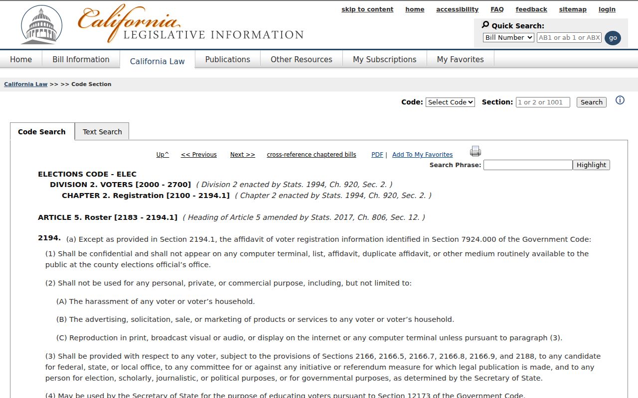
The statute image is a legal reference for permitted voter-file use. It does not change the parcel, occupancy, or privacy limits described by the other sources.
Lawful use. San Jose neighbors lookup results are for civic curiosity, reconnecting, and personal safety awareness. Using location information to stalk, harass, threaten, or intimidate another person is prohibited or punishable under California law.