
San Jose ZIP Coverage
A San Jose ZIP code directory needs two maps at once. Postal geography explains where mail is routed, while municipal and county layers explain which custodian covers a parcel. The table includes every ZIP listed in the San Jose research set, including neighboring postal areas that touch the city layer and special or edge geographies. A ZIP label is a useful first filter, but it is not proof that an address lies inside San Jose city limits.
| ZIP Code | Broad Area Served | Postal Context | Boundary Note |
|---|---|---|---|
| 95002 | Alviso | San Jose Alviso context | City-limit layer intersects this non-951 ZIP |
| 95008 | Campbell postal area | Campbell delivery | Small city-limit intersection or sliver |
| 95013 | Coyote | Rural postal context | Verify official parcel jurisdiction |
| 95032 | Los Gatos postal area | Los Gatos delivery | City-limit sliver or annexation mismatch |
| 95037 | Morgan Hill postal area | Morgan Hill delivery | Southern-edge city intersection |
| 95110 | Downtown west and airport vicinity | San Jose delivery | Downtown and airport contexts overlap |
| 95111 | South-central and east of 87 | San Jose delivery | Check city or unincorporated status |
| 95112 | Downtown, northside, and Japantown | San Jose delivery | Dense boundary and unit addressing |
| 95113 | Downtown core | San Jose delivery | Business-heavy, not a resident-count proxy |
| 95116 | East-central San Jose | San Jose delivery | Neighborhood and ZIP lines differ |
| 95117 | West San Jose | San Jose delivery | Near Santa Clara and Campbell edges |
| 95118 | Cambrian and southwest | San Jose delivery | County-island checks may matter |
| 95119 | South San Jose | San Jose delivery | Industrial and residential mix |
| 95120 | Almaden Valley | San Jose delivery | Rural-edge parcels and large lots |
| 95121 | East and southeast | San Jose delivery | Evergreen edge context |
| 95122 | East San Jose | San Jose delivery | Not a neighborhood boundary |
| 95123 | South San Jose | San Jose delivery | Broad suburban service area |
| 95124 | Cambrian and west | San Jose delivery | Campbell and Los Gatos adjacency |
| 95125 | Willow Glen | San Jose delivery | Neighborhood extends differently than ZIP |
| 95126 | Rose Garden and Diridon area | San Jose delivery | Santa Clara and downtown edges |
| 95127 | Alum Rock and east foothills | San Jose delivery | City and county contexts occur |
| 95128 | West and medical corridor | San Jose delivery | Santa Clara and Campbell edges |
| 95129 | West San Jose | San Jose delivery | Cupertino and Saratoga border context |
| 95130 | Far west San Jose | San Jose delivery | Campbell and Saratoga boundary context |
| 95131 | North San Jose | San Jose delivery | Business and industrial-heavy area |
| 95132 | Berryessa and northeast | San Jose delivery | Milpitas edge |
| 95133 | East and northeast | San Jose delivery | Neighborhood overlap |
| 95134 | North San Jose | San Jose delivery, including Tasman county offices | Santa Clara and Milpitas adjacency |
| 95135 | Evergreen and east foothills | San Jose delivery | Low-density edge and retirement community |
| 95136 | South-central San Jose | San Jose delivery | Neighborhood labels overlap |
| 95138 | Southeast San Jose | San Jose delivery | Rural and urban edge |
| 95139 | Far south | San Jose delivery | Very small residential area |
| 95140 | Mount Hamilton area | San Jose postal label in county areas | Substantial area outside city limits |
| 95141 | Southeast rural edge | Postal coverage varies by exact address | Verify the USPS address result |
| 95148 | Evergreen and east | San Jose delivery | City-edge context |
| 95192 | San Jose State University | Unique institutional ZIP | Not a residential neighborhood roll |
The five 950 ZIPs in the table are the clearest reminder that postal and municipal geography can overlap without matching. The 95192 entry is a different kind of exception: an institutional ZIP should not be read as a count of households. The 95140 entry is the strongest local warning because its postal reach includes Mount Hamilton county territory that the captured city-limit query did not return.
San Jose ZIP Edge Cases
The official city-limit query for the captured ZIP layer returned the table's 95002, 95008, 95013, 95032, 95037, and 95192 intersections, but not 95140. That result does not make 95140 an invalid San Jose postal label. It shows why a ZIP code directory must state whether it is describing mail delivery, a parcel's municipal jurisdiction, or a search boundary.
West-side ZIPs such as 95117, 95124, 95129, and 95130 sit near Santa Clara, Campbell, Los Gatos, Cupertino, or Saratoga contexts. North-side 95131 and 95134 include business or institutional land as well as other uses. Edge conditions also occur in 95111, 95118, 95120, 95127, 95135, and 95138. The same ZIP can contain parcels with different city, county, district, or service-area records.
The official San Jose ZIP boundary layer is a useful visual check. Read its geometry with the parcel and jurisdiction layer, not as a substitute for an address-level postal result.
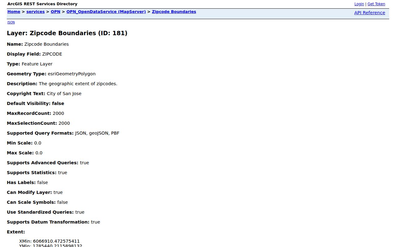
The boundary image helps separate a ZIP polygon from a city-limit polygon. A search that stops at the postal outline can put the wrong office or record set in charge.
Verify a San Jose ZIP
A ZIP-keyed search should begin with the exact delivery address. USPS assigns a ZIP for delivery, not for municipal identity. After the postal result is confirmed, the parcel layer can test whether the address lies inside San Jose, in an unincorporated county pocket, or across a neighboring city edge.
- Enter the complete address in the USPS ZIP Code Lookup and save the returned ZIP and preferred city.
- Check the address in the Santa Clara County Interactive Map; identify the parcel, APN, jurisdiction, and any county-island context.
- Use the ZIP layer or open-data export to group parcels, while keeping the source update date with the result.
- Move from ZIP to a specific street or APN before asking an assessor, recorder, permit, or court custodian for a record.
The workflow prevents a common error: treating all entries with a San Jose postal city as city records. Once a ZIP narrows the area, the San Jose street directory is the better place for a parcel-by-parcel address chain.
Finding Residents Inside One ZIP Code
There is no single public resident roll that accepts a ZIP and returns everyone in it. The ZIP code directory workflow uses geography to narrow a set of parcels, then uses the record type that answers the question. The assessor can search individual situs addresses or APNs. GIS can display and export parcel or jurisdiction layers. Voter data requires an eligible statutory purpose, and the California self-service voter tool authenticates only the voter.
- Define whether the result concerns parcels, owners, historic occupants, registered voters, or a civic organization.
- Build the ZIP boundary and municipal intersection with USPS, GIS, and the city or county layer.
- Record each APN and situs address that falls inside the chosen geography; do not treat a ZIP as an occupancy list.
- Search the responsible custodian one parcel, case, or authorized file request at a time.
For current property facts, the APN and situs are more useful than a ZIP alone. For historical people, a directory or census year supplies a time frame. For election records, Elections Code limits remain in force even when a file is requested by geography. A ZIP filter narrows a map; it does not widen access to private records.
San Jose Assessor ZIP Limits
The Santa Clara County Real Property Search has simple address, advanced address, and APN modes. It accepts a situs address, street components, a unit, a city, or an APN after terms acceptance. It has no owner-name search and no ZIP-wide option. Online results can show APN, situs, assessed land, improvement and total values, tax-rate area, property characteristics, and map or assessment links. Assessee identity is redacted from the Internet version.
| Assessor field | Mode | What it means |
|---|---|---|
| Property address | Simple | Situs address, not a mailing destination |
| Street number and name | Advanced | Required together; direction and type refine the situs |
| Unit | Advanced | Condominium or unit detail when available |
| City | Advanced | Select the physical place, not only the USPS city |
| APN number | APN | Eight digits or the displayed hyphen form |
| Terms acceptance | All modes | Required before Search |
When a name is needed, the lawful fallback is an Assessor public terminal or microfiche and the Recorder's public workstation, not repeated ZIP guesses. The Assessor's owner and prior-roll fallback is at 70 W. Hedding Street, East Wing, fifth floor, Monday-Friday, 8:00 a.m.-4:00 p.m. The Recorder uses grantor and grantee indexes rather than a street or ZIP key.
San Jose ZIP Maps Need Parcel Context
County Map Books are an archival bridge when a ZIP boundary or parcel shape needs a recorded map rather than a current web layer. The Santa Clara County Map Books index describes about 5,900 recorded maps. A map book can help establish subdivision, tract, or parcel context, but it does not become a current residents list and should be read with the APN and legal description.
A ZIP code directory is strongest when it preserves the chain: postal result, GIS geometry, APN, situs, jurisdiction, and the custodian for the requested record. The legal description can identify land even when a mailing label changes. A map book can explain an edge, split, or tract; a current parcel layer and the official record still decide the present lookup path.
The Santa Clara County Map Books index is the source-linked starting point for the image below. It is a research aid for parcel context, not a shortcut around the Assessor's privacy limits.
Map-book context is most useful at the boundary, where postal geography, city limits, and subdivision lines do not tell the same story.
San Jose ZIP Definitions
Postal terms can sound like parcel terms even when they are not. Keeping the definitions separate avoids an overbroad resident claim and makes a ZIP code directory easier to audit.
- ZIP code
- A USPS delivery geography used to route mail; it does not set city limits.
- ZIP+4
- A more precise delivery extension attached to a five-digit ZIP; it is not a parcel identifier.
- PO-box ZIP
- A ZIP organized around post-office boxes or a delivery facility rather than a neighborhood street grid.
- Unique ZIP
- A code assigned to one institution or limited destination, such as the 95192 university setting.
- Carrier route
- A delivery route within postal operations, not a public list of households.
For a person lookup, an exact address and a dated record remain stronger than a postal category. For a map question, retain the layer name and date. For a records request, name the parcel, office, and record type rather than asking for all residents in a ZIP.
San Jose ZIP and City Limits
San Jose's postal-city label can reach county territory, and a city parcel can carry a neighboring postal label. The 95140 Mount Hamilton mismatch makes that plain, while the 95002, 95008, 95013, 95032, and 95037 intersections show that non-951 ZIPs can touch the municipal layer. County islands and enclaves add another reason to check jurisdiction before selecting a recorder, assessor, permit, or court office.
When a ZIP result conflicts with a parcel result, retain both and ask the appropriate custodian which boundary controls the record. The legal description and APN identify land; the situs locates it; the mailing address tells where a notice goes; the ZIP routes delivery. None alone proves who occupies the property.
Boundary check. A San Jose postal label is not a city-limit finding. Verify the exact address with USPS, then test the parcel and jurisdiction layers before relying on a ZIP-based result.